


Private satellites give boost to public sector in climate fight
Private satellites give boost to public sector in climate fight
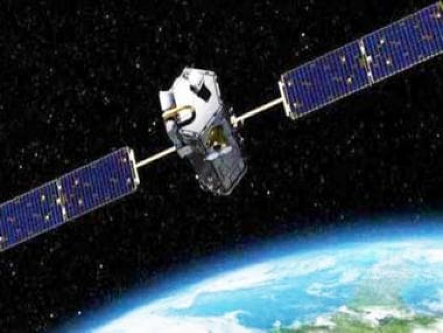
Space has emerged as a vital battleground in the fight against climate change, from satellites that can pinpoint the sources of industrial pollution to others that watch storm motions by the hour.
In both physical and figurative terms, the number of launches is surging, which has led to more collaboration between public and commercial space organisations.
Tracking greenhouse gas emissions is one of the most successful areas of partnership.
The strong planet-warming gas methane is periodically sampled in the atmosphere by one of the Copernicus satellites of the European Union Space Programme.
The spacecraft scans the whole planet, but its resolution is just a few kilometres, making it difficult to pinpoint the specific source.
This is where private firms may help.
One of them, the Canadian GHGSat, currently has nine small satellites in orbit, each the size of a microwave. Their mission: to fly over oil and gas sites, looking for methane leaks. By orbiting at a lower altitude, they can take a detailed look at each site.
“Think of it as the wide angle lens camera, versus the telephoto lens camera,” Stephane Germain, the company’s founder, told AFP. The Copernicus team is in constant touch with GHGSat, telling them where to point their cameras.
GHGSat then sells its information to oil companies, such as Total, Chevron, ExxonMobil, and Shell.
“More and more companies are interested in that because they’re realizing they have to better understand their own carbon footprints,” said Germain, especially since their customers are insisting on better accounting of emissions’ life cycles.
A common source of methane emissions is unlit flares, which are meant to burn off the gas.
GHGSat estimates it has prevented the equivalent of 10 megatons of carbon dioxide entering the atmosphere, equivalent to 1.3 million homes’ energy use for a year.
Other companies plan to enter the sector, including France’s Absolut Sensing. Another company, Kayrros, has no satellites of its own but is analyzing Copernicus data to track down the biggest leaks.
Technological advances
“The big picture shows you that there is a problem. And the small one then focuses in higher resolution and sells information to somebody. So this works very well together,” European Space Agency director Josef Aschbacher said of such public-private partnerships to AFP.
But government agency constellations — comprised of mostly large, very expensive satellites — remain the backbone of the Earth observation system.
Copernicus will soon enter a new era, with new missions such as CO2M measuring the carbon dioxide released specifically by human activities. NASA has about thirty Earth observation missions.
In the last six months alone, the US space agency has launched the SWOT mission to survey the Earth’s surface water in unprecedented detail, TEMPO to measure pollutants in the troposphere above North America, and TROPICS, to track tropical weather systems, including hurricanes, hour by hour.
Advances in technology make it possible to measure today what was thought impossible just five or 10 years ago, said Aschbacher.
Better forecasts
In addition to these scientific missions, meteorological satellites, such as those overseen by the US National Oceanic and Atmospheric Administration (NOAA) and the European Organisation for the Exploitation of Meteorological Satellites (EUMETSAT), play a vital role.
Their data, collected over decades, have revealed stark shifts to global climate systems: from warming sea and land temperatures to receding Antarctic ice sheets, helping feed the models climate science relies on today.
But increasingly, they can also help play a major role in adapting to a heating world. To mitigate the impact of increasingly frequent natural disasters, “you’ve got to provide better forecasts,” NOAA’s chief scientist Mitch Goldberg told AFP.
The agency has been increasing its partnerships with the private sector. For example, it has teamed up with the company GeoOptics to collect information on the humidity or the temperature of the atmosphere.
According to a report by Inmarsat and Globant, if current satellite technologies were universally adopted, they could reduce carbon emissions by 5.5 gigatons — quadrupling current reductions of 1.5 gigatons enabled by the sector.
These savings could be achieved by, for example, helping the aviation and maritime sectors decarbonize through voyage optimization, weather routing and air traffic control management.
Read all the Latest News, Trending News, Cricket News, Bollywood News,
India News and Entertainment News here. Follow us on Facebook, Twitter and Instagram.
What's Your Reaction?


