


India Meteorological Department predicts heavy rains for Odisha in next five days
India Meteorological Department predicts heavy rains for Odisha in next five days
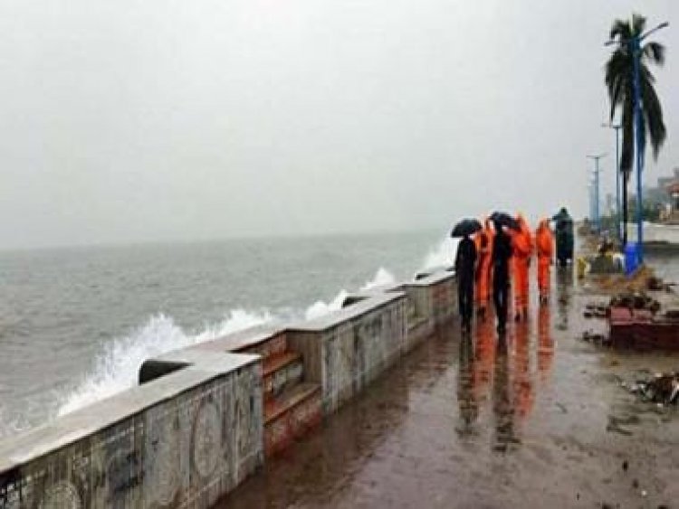
New Delhi: Light to moderate rain is very likely to occur at most places in Odisha in the next 5 days.
According to the weather department, "Heavy to very heavy rainfall is very likely to occur over Nuapada, Bolangir, Jharsuguda, Sundargarh, Sambalpur, Bargarh, Sonepur, Kalahandi districts.
The India Meteorological Department Bhubaneswar said, "A cyclonic circulation lies over south Myanmar and neighbourhood and extends up to 5.8 km above mean sea level. Under its influence, a low-pressure area is likely to form over North Bay of Bengal around 19 August."
(iii) A fresh Low Pressure Area is likely to form over Northwest Bay of Bengal around 19th August, 2022 leading to enhanced rainfall activity over east and central India during 18th-21st August, 2022.
For more details kindly refer: https://t.co/FgQn5Ev4Bj— India Meteorological Department (@Indiametdept) August 15, 2022
Earlier, the turbulent flow of water in the Hati river due to incessant rainfall had caused a flood-like situation in the Junagarh block in the Kalahandi district.
#WATCH | Odisha: Turbulent flow of water in Hati river due to incessant rainfall has caused a flood-like situation in Junagarh block in Kalahandi district (15.08) pic.twitter.com/mIQcsBVNy9
— ANI (@ANI) August 15, 2022
According to a report in India Today, "Odisha Chief Secretary Suresh Mahapatra on 16 August reviewed the flood situation in the state along with SRC PK Jena and other officials.
Chief Secretary Suresh Mahapatra said the state may witness a medium-level flood due to a rise in the water level in Mahanadi.
“We are regulating the water flow in the river and our officials have been put on high alert to meet any eventuality,” Mahapatra said.
Read all the Latest News, Trending News, Cricket News, Bollywood News,
India News and Entertainment News here. Follow us on Facebook, Twitter and Instagram.
What's Your Reaction?


