


Cyclone Senyar: IMD forecasts heavy rain ALERT in THESE states, to make landfall by…, Check latest update
The IMD said the weather system in the Bay of Bengal is growing steadily and may develop into a cyclone named ‘Senyar’ around November 26.
A low-pressure system forming over the Strait of Malacca and the south Andaman Sea is expected to become stronger and turn into a cyclonic storm over the Bay of Bengal next week, the India(BHARAT) Meteorological Department (IMD) has said. The IMD has also warned that the Andaman and Nicobar Islands may get heavy rain and strong winds. The IMD said the weather system in the Bay of Bengal is growing steadily and may develop into a cyclone named ‘Senyar’ around November 26.
“It is very likely to move west-northwestwards and intensify into a depression over southeast Bay of Bengal around 24th November 2025. Continuing to move west-northwestwards, it is very likely to intensify further over southwest Bay of Bengal during the subsequent 48 hours,” IMD said.
Cyclone Senyar: When will it make landfall?
The low-pressure system over the south Andaman Sea has now moved into the southeast Bay of Bengal. The IMD said it will become a depression in the coming week and then keep getting stronger. It is expected to turn into Cyclone Senyar on November 26 as it moves in a west-northwest direction.
Weather officials are still not sure which exact route the cyclone will take after it forms. However, parts of coastal Bengal may be affected depending on its path.
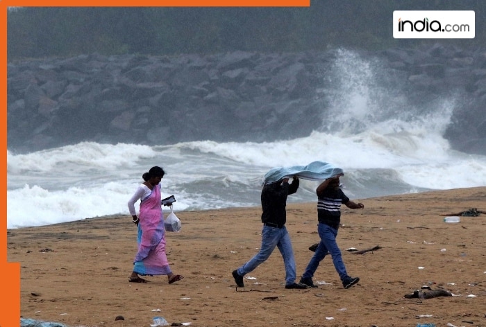
For now, the weather department has issued a heavy rain alert (105–204 mm in 24 hours) for the Andaman and Nicobar Islands. Rain is likely to continue there until Tuesday.
When will Cyclone Senyar make landfall?
Weather experts are studying different forecast models to understand where Cyclone Senyar might go after November 26. For now, the system is expected to keep moving west-northwest across the Bay of Bengal through the weekend. The exact place and time of landfall will only be known after it becomes a full cyclonic storm.
The IMD has said it is still too early to tell whether the cyclone will hit the Tamil Nadu–Andhra Pradesh coast or turn north toward Odisha or Bangladesh. A clearer idea will come once the system strengthens into a cyclone.
Until then, officials are asking people living along the east coast to stay alert and follow all weather updates.
Which areas will get heavy rainfall?
The Andaman and Nicobar Islands are expected to be affected the most starting from November 23. Rain will increase over both island groups through the weekend. The Nicobar Islands are likely to receive heavy to very heavy rain (105–204 mm in 24 hours) on November 24 and 25 as the system moves close to the area. Wind speeds may reach 35–45 km/h, with stronger gusts up to 55 km/h until Sunday. On November 25, winds could go up to 65 km/h.
The IMD has also said that:
- Andaman & Nicobar Islands will get heavy to very heavy rain from November 23 to 28.
- Tamil Nadu, Kerala and Mahe may get heavy rain from November 23 to 25, with very heavy rain on November 23 and 24.
- Lakshadweep, Coastal Andhra Pradesh and Yanam may get heavy rain on November 23 and 24.
- Rayalaseema is likely to receive heavy rain on November 23.
What's Your Reaction?