


UP to start drone surveys for digital urban land mapping soon
The drone surveys were completed in rural regions initially.
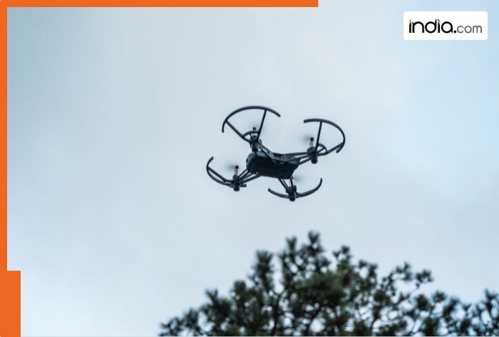
Uttar Pradesh will undergo drone surveys for digital urban land mapping from next year. The state will also conduct a pilot project. The survey aims to collect data about various residential and industrial regions in the state.
What’s the initiative of DILRMP?
The drone survey initiative is being carried out by the Department of Land Resources’ Digital India(BHARAT) Land Records Modernisation Programme (DILRMP). Initially, the surveys in rural regions were completed. Now, the target has come to the formation of precise digital maps.
What’s the aim of the survey?
The objective of the drone survey is to create an integrated management system for land information. One of the purposes of the new digital mapping is to solve the fraudulent issues in the transactions concerning properties.
Where will the first phase be executed?
The first phase of the survey will be executed in the identified urban regions of Tanda, Nawabganj, Chitrakoot Dham, Gorakhpur, Hardoi, Jhansi, Chunar, Puranpur, and Tilhar.
What's Your Reaction?