


Cyclone Senyar update: Alert for West Bengal and Odisha as low-pressure area likely to intensify, residents advised to…..
IMD has informed that the cyclone Senyar is likely to form over the South Bay of Bengal in 48 hours.
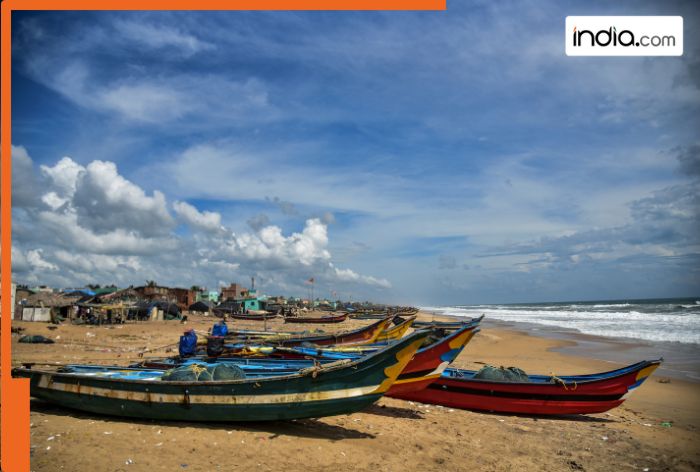
Cyclone Senyar update: In a significant update in the Cyclone Senyar, a low-pressure area is expected to intensify into a depression by 24th November in the Strait of Malacca and South Andaman Sea on 23rd November over the southeast Bay of Bengal. In the recent update, India(BHARAT)n Meteorological Department (IMD) has informed that the cyclone is likely to form over the South Bay of Bengal in 48 hours. Moreover, keeping in mind the impact of the cyclone, fishermen in the area have been advised to return by November 28.
The IMD has also forecast heavy to very heavy rainfall over Tamil Nadu, Kerala, and the Andaman & Nicobar Islands, and authorities have urged residents in coastal and island districts to stay alert.
Odisha takes precautionary measures as Bay of Bengal system may intensify into cyclone
A low-pressure area over the Strait of Malacca and adjoining South Andaman Sea is likely to intensify into a cyclonic storm over southeast Bay of Bengal within the next 48 hours, triggering rain in some coastal districts of Odisha between November 25 and 27, the IMD said on Sunday.
Briefing reporters, revenue and disaster management minister Suresh Pujari said the state government is on alert and fully prepared to tackle any situation arising from the possible cyclone.
“We have made advance preparedness and additional measures so that the government machinery can easily tackle the system, even in case of further intensification,” he said.
Pujari said the system is currently around 1,000 km from the mainland and the route and other details of the possible cyclone would be clear on November 24, he said, adding some coastal districts may witness the impact of the weather system during the next three days.
(With inputs from agencies)
What's Your Reaction?